These little maps were created for the same educational materials as the marine watercolors elsewhere in this portfolio. They are used in a four day Training Course for Coastal Managers. Each one depicts a coastal region of the United States where the course is given. And each course is adapted to its particular region.
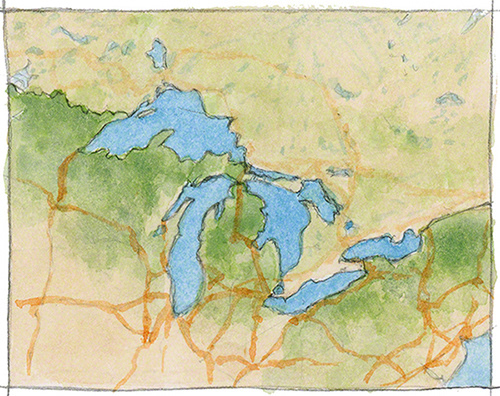
The Great Lakes
See this little map in use (Please note I did not design the web page).
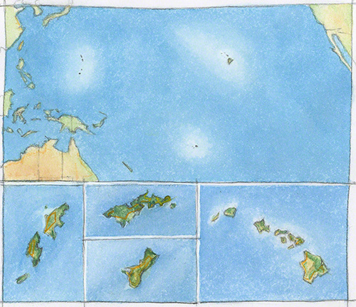
The US Pacific Islands.
Top, from left to right, clockwise: Northern Marianna Islands and Guam, Hawaii Islands, American Samoa.
Mini maps: Left: Northern Mariannas (the most important ones)
Middle-top: American Samoa, Middle-bottom: Guam
Right: Hawaii
Top, from left to right, clockwise: Northern Marianna Islands and Guam, Hawaii Islands, American Samoa.
Mini maps: Left: Northern Mariannas (the most important ones)
Middle-top: American Samoa, Middle-bottom: Guam
Right: Hawaii
See this little map in use. (Please note I did not design the web page).
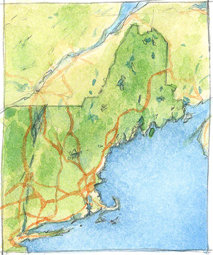
North East Region
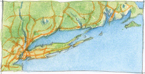
Long Island Sound
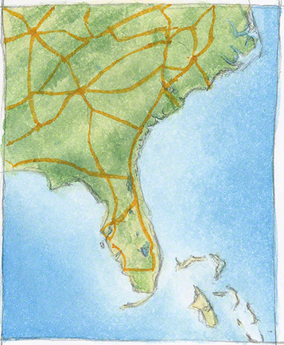
South East Region
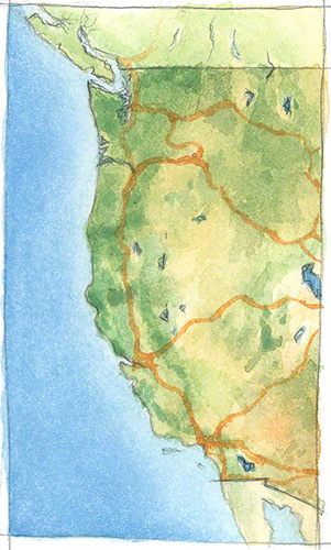
The West Coast