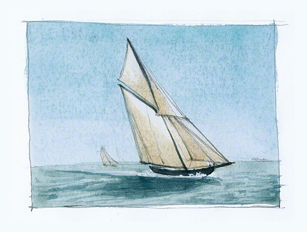
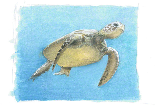
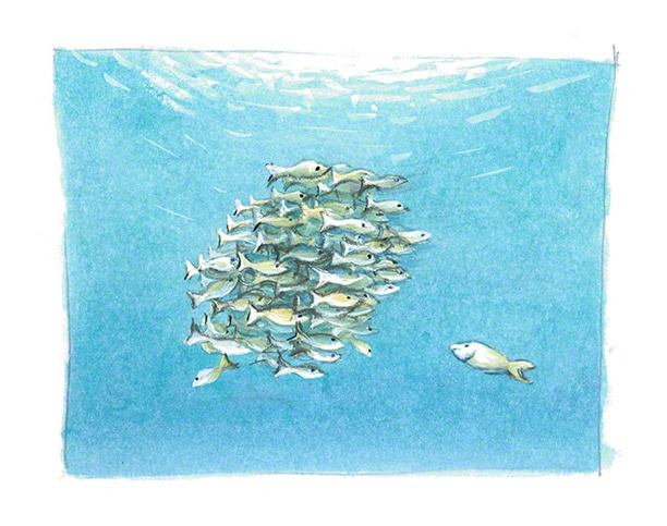
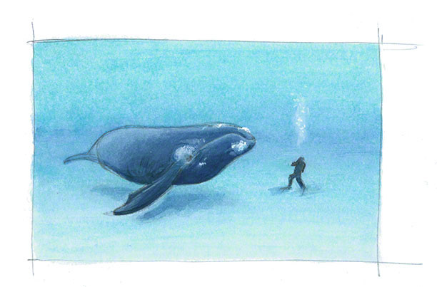
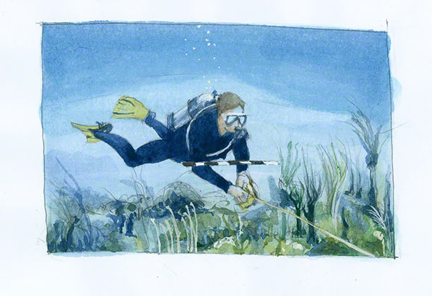
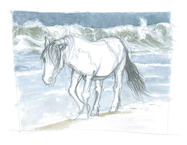
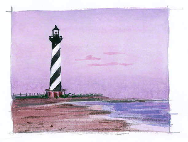
A selection of illustrations I made for educational materials used during a four day course by the Battelle Memorial Institute's Coastal and Marine Spatial Planning Advancement Training.
I also created the handbook covers, Powerpoint daily intro slides, icons, and more, shown elsewhere in this portfolio.

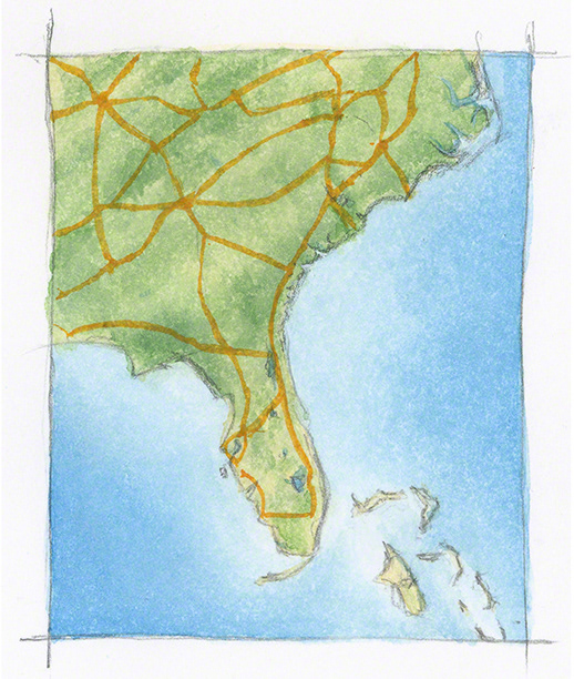
In addition to all the illustrations, I also painted a series of whimsical maps of the US Coastal Regions where the course will be given. This is the US South East Region.
You can see more of them elsewhere in my illustration portfolio.